
 Peakify for iPhone · Free
UK mountain weather forecasts
Know the mountain before you go.
Summit forecasts, cloud inversions, dark skies and routes for UK peaks, with live navigation and your training in one app.
Or plan on the web ↓Plan on the web
Find a UK mountain weather forecast
Search any UK hill for its forecast, routes and the best time to go.
Mountain forecasts
Weather, wind and ground conditions on UK summits.
Cloud inversions
Where you could stand above a sea of cloud this week.
Dark sky events
Meteor showers, the Milky Way and clear-night outlooks.
Snowdar
Snowfall radar and depth across the hills.
Hill finder
Find the right hill for the time and weather you have.
Explore by area
Popular peaks
Start with the classics, or browse a whole range.
The Peakify app
Take it up the hill
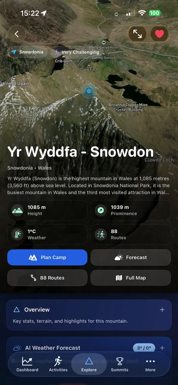
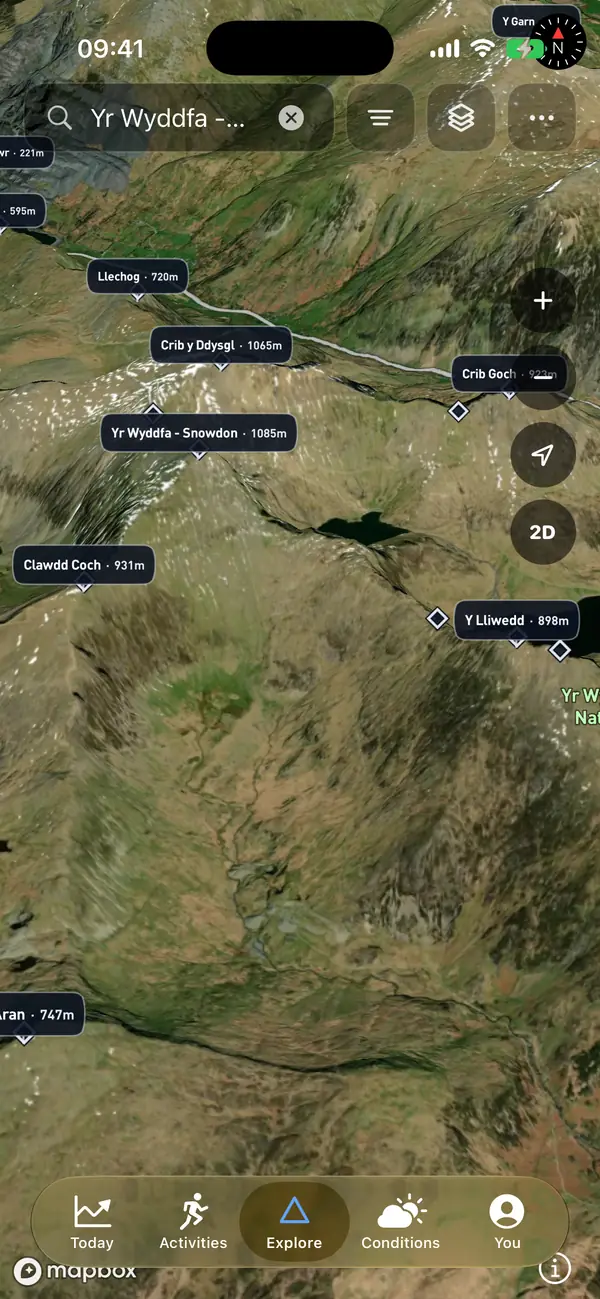
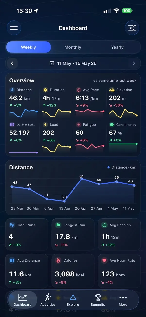
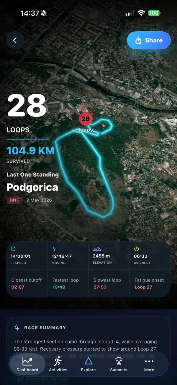
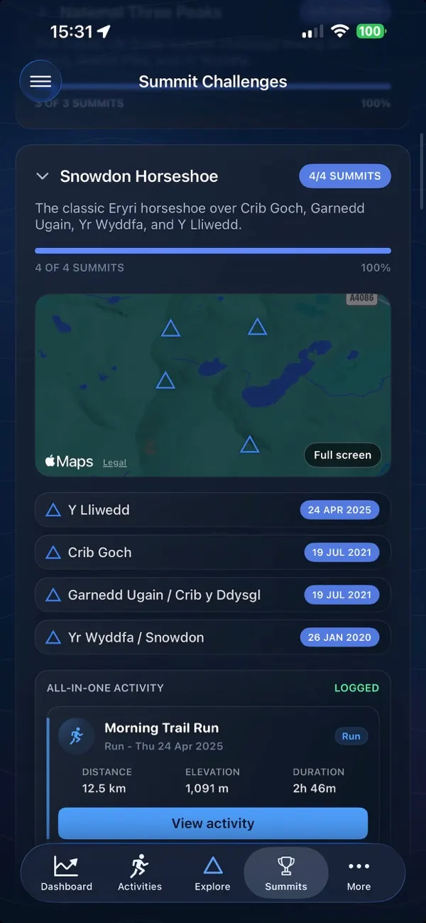
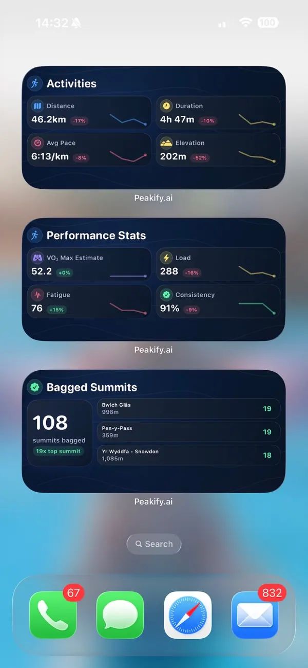
The app adds turn-by-turn navigation with off-route alerts, Live Activities, SOS, live location sharing and training analysis.
Questions
Mountain weather forecast questions
Where can I get a UK mountain weather forecast?
Search any UK hill above, or open an area such as the Lake District or the Cairngorms. Every mountain page has a summit forecast for wind, gusts, temperature, cloud base and rain, with an hour-by-hour view and a 14-day outlook.
Is the forecast for the summit or the valley?
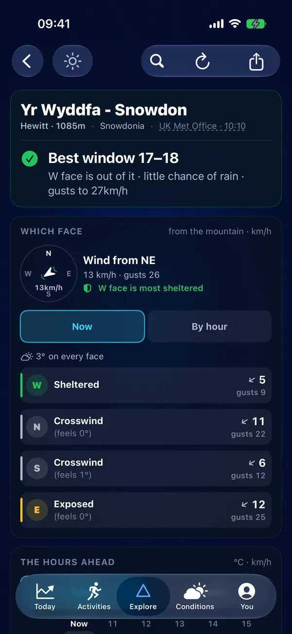
The summit. Peakify asks the weather models for each mountain at its own height, so the wind, wind chill and freezing level are what you would meet on top, not in the car park.
Which UK mountains does Peakify cover?
Hills across England, Scotland and Wales, from Ben Nevis and the Munros to the Wainwrights, Eryri and the Brecon Beacons, each with routes and a summit weather forecast.
How is this different from a regional mountain forecast?
Regional mountain forecasts describe a whole area, such as the Lake District or the West Highlands, in words. Peakify gives a separate forecast for each summit, at its own height, so you can compare two hills on the same day and pick the one with less wind or a higher cloud base. Read both: the regional forecast adds the forecaster's judgement, and Peakify adds the detail for your hill. Together they give you the clearest picture of the day before you leave home and commit to a route.
What do Good, Marginal and Poor mean?
Each day gets a summit verdict from the forecast wind, gusts, rain and wind chill. Good means nothing in the forecast should stop a walk to the top. Marginal means one of them is high enough to make the day hard work or to change your route. Poor means the summit weather is likely to be dangerous or miserable. The verdict covers the weather only, not your fitness, kit or the state of the path.
Can I see if it is safe to climb a mountain today?
Yes. The most popular peaks, including Snowdon, Ben Nevis and Scafell Pike, have an "is it safe to climb" page with today's, tomorrow's and the weekend's verdict and the reasons behind it. Every other mountain shows the same verdict on its own page.
What else does the forecast show?
Each mountain also has a cloud inversion outlook for the next seven days, dark-sky conditions for stargazing, sunrise and sunset times, and a snow forecast. Snowdar ranks the UK summits by forecast snowfall over the next 14 days. Save your favourite hills in the iPhone app and Peakify can alert you when one of them is likely to sit above a cloud inversion.
Is Peakify free?
Yes. The website and the iPhone app are free to use. Peakify Pro adds every widget, GPX export and unlimited favourites, and removes the ads.
Your activities
Connect Strava or Garmin
See your runs, rides and hikes in one feed, with bagged summits, best efforts and AI run reviews.